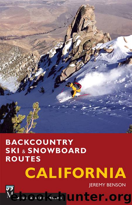
Backcountry Ski & Snowboard Routes: California by Jeremy Benson

Author:Jeremy Benson
Language: eng
Format: epub
ISBN: 9781594859007
Publisher: Mountaineers Books
Published: 2017-03-17T04:00:00+00:00
THE ROUTE
From the Lundy Dam Road parking area, your route may vary, depending on your objective.
North chutes: To head for one of the north-facing gullies or chutes, bear southwest and begin the gradual ascent toward the line of your choice. There are three major lines down this face; once you are beneath the line you want, simply climb up it. Skin for as long as possible before switching to boot-packing as you get higher. After about 3500 vertical feet, you top out on the ridge just below and east of the summit. It is a short scramble from here to the lofty summit of Gilcrest Peak. The view from here is expansive: Mono Lake, Mount Warren, Mount Scowden, the entire Lundy Canyon drainage, Mount Conness (Route 51), and North Peak (Route 50). Drop back down the line of your choice.
East gully: To reach the east gully, head south from the dam and up the Deer Creek drainage. Continue south to 9200 feet or so, when you should be able to see up the large east-facing gully that drops down from the summit ridge. Hike up through the trees to climber’s left of this gully; it may be possible to skin all the way to the top, but switch to boot-packing if necessary. Once on the ridge, head west to get to the summit. Descend the way you came, but once you have exited the gully, head north (skier’s left) to the top of the moraine for more great turns down to Lundy Lake.
Download
This site does not store any files on its server. We only index and link to content provided by other sites. Please contact the content providers to delete copyright contents if any and email us, we'll remove relevant links or contents immediately.
A Wilder Time by William E. Glassley(2838)
Erebus by Michael Palin(1835)
Arctic Dreams by Barry Lopez(1749)
Winter Calling by Lynn Galli(1638)
South with the Sun by Lynne Cox(1564)
The Art of Fear by Kristen Ulmer(1538)
Mawson's Will by Lennard Bickel(1445)
South by Ernest Henry Shackleton(1426)
Bugaboo Dreams by Topher Donahue(1401)
Big Dead Place: Inside the Strange and Menacing World of Antarctica (Large Print 16pt) by Nicholas Johnson(1387)
Caroline Alexander by The Endurance: Shackleton's Legendary Antarctic Expedition(1376)
Total Hockey Training by Sean Skahan(1374)
Training Season (E) (MM) by Leta Blake(1317)
Zoo Tails by Oliver Graham Jones(1293)
Panama by Lonely planet(1270)
Ice! by Tristan Jones(1236)
Ice by Unknown(1231)
Frozen in Time by John Geiger & John Geiger(1199)
Lonely Planet Panama by Lonely Planet(1168)
